Exit

Telephone : +44 (0) 28 7083 4600

Email: info@irishartgroup.com

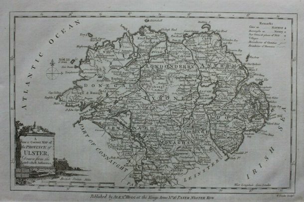
Ulster – 1786 Thomas Conder

“Ulster”… 1786…Thomas Conder (1747 – 1831 ) … 8” x 12” (20 cm x 30 cm)… uncoloured.. from “The Antiquities of England and Wales”, by Henry Boswell, published by Alex Hogg, London, 1786. Conder was an English map engraver and bookseller active in London during the late 17th and early 18th centuries. From his shop […]

Read more Like this post1

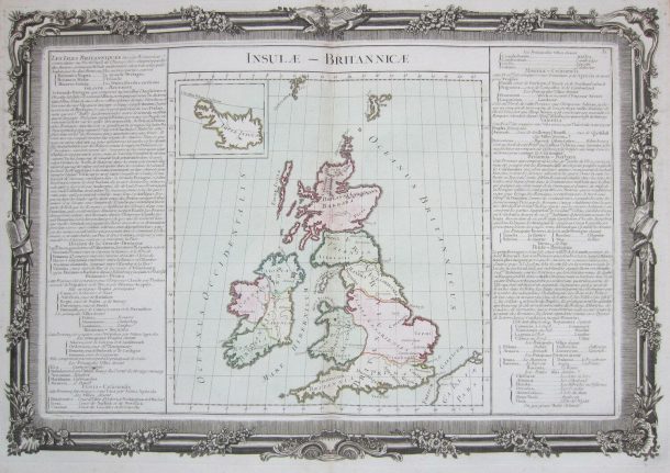
Insulae Britanica – 1762

“Insulae Britanica” …1762…Claude Buy de Mornas (d. 1783) …23” x 16” (56 cm x 40 cm)… Recent hand colour.  Published in “Atlas Historique et Geographique” in Paris by L.C. Desnos, 1761. Mornas produced “L’ Atlas Méthodique et Elémentaire de Géographie et d’ Histoire” in 1761 and “L’Atlas Historique et Géographique” in 1762 and was appointed […]

Read more Like this post1

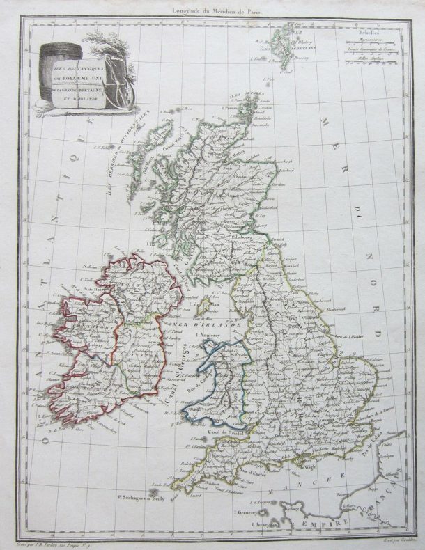
Isles Brittaniques – 1812

“Isles Brittaniques” …1812… Conrad Malte-Brun (1775-1826) …14” x10” (34 cm x 26 cm).  From “L’Atlas Complet du Precis de la Geographie Universelle” published in Paris in 1812. Malte-Brun was the founder of “Les Annales des Voyages” (1807) and “Les Annales des Voyages, de la Géographie et de l’Histoire (1819) which encouraged observations and reports as […]

Read more Like this post1

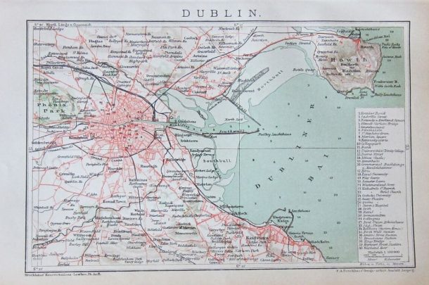
Dublin – 1893

“Dublin” …1893… F. A. Brockhaus (1727-1795) …6” x 9” (15 cm x 23 cm). Original chromolithographed colour. Published in Leipzig by the Bibliographisches Institut Leipzig for the Brockhaus Lexikon 1893. The Brockhaus Enzyklopädie is a German-language encyclopedia whose first edition originated in the Conversations-Lexikon published by Löbel and Franke in Leipzig 1796–1808. This map has […]

Read more Like this post1

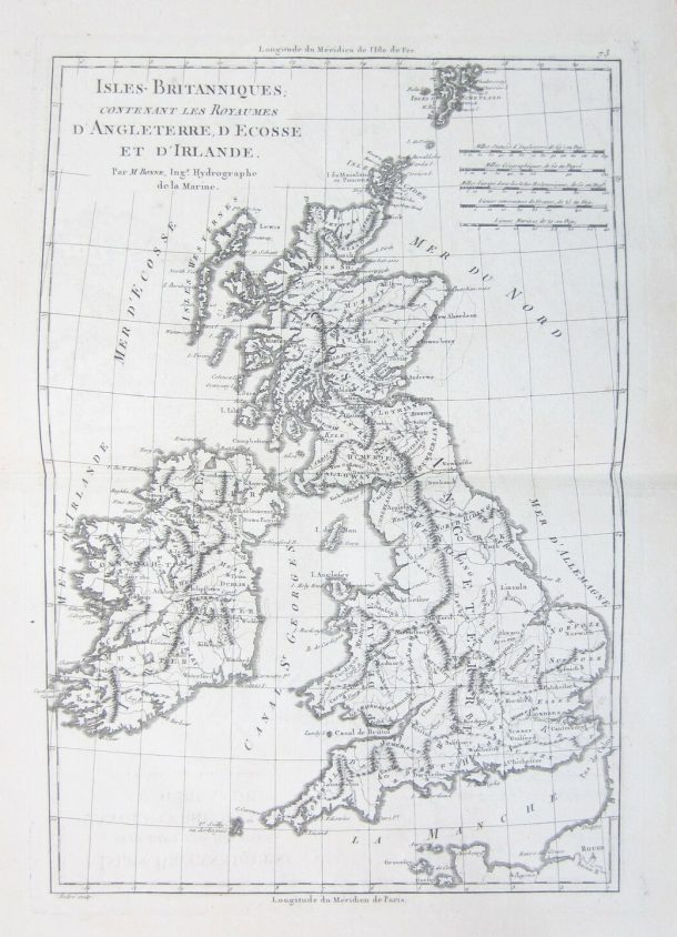
Isles Britanniques – 1787

“Isles Britanniques” …1787… Charles Marie Rigobert Bonne (1727-1795) and Nicolas Desmarest (1725-1815)…13” x 9” (32 cm x 22 cm). From “Atlas Encyclopedique” published in Paris in 1787. Bonne, a French cartographe, became in 1773 Royal Hydrographer at the Depot de la Marine where he compiled some of the most detailed and accurate maps of his […]

Read more Like this post1

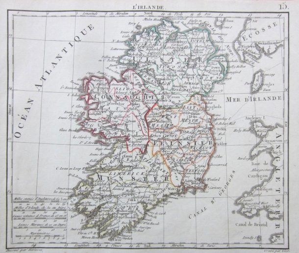
L’Irlande – 1806

“L’Irlande” …1806… Eustache Hérisson (1759– 1818)… 10 x 8” (25 cms x 20 cms) … recent outline hand colour… from “ Atlas du dictionnaire de Geographie Universelle”.  Hérisson was a French cartographer and geographical engineer active in Paris during the early years of the 19th century. He was a student of the 18th century hydrographer Rigobert Bonne […]

Read more Like this post1

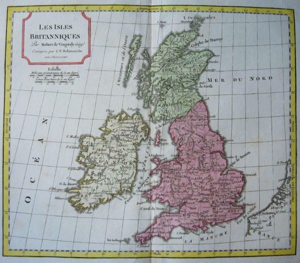
Les Isles Brittaniques – c1799

“Les Isles Brittaniques” …c1799… Robert de Vaugondy (1686 – 1766) / C F Delamarche (1740 – 1817)a… 9 x 11” (23 cms x 28 cms) … original outline hand colour  with recent wash colour.. from “Le Nouvel Atlas Portatif”, published in Paris.  Gilles (1688 – 1766) and Didier (c. 1723 – 1786) Robert de Vaugondy were map […]

Read more Like this post1

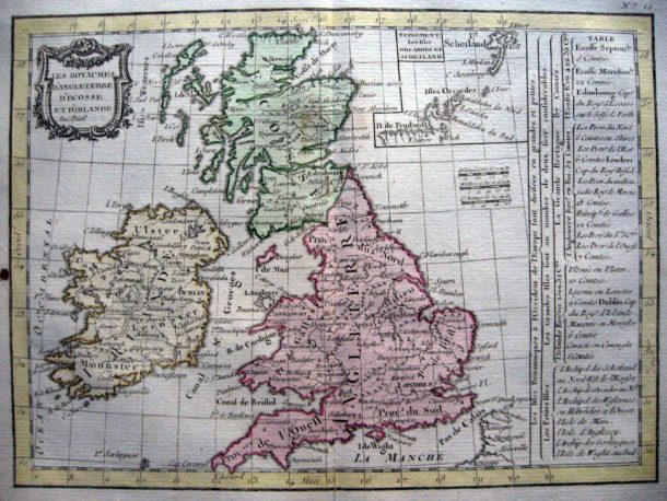
Les Royaumes d’Angleterrre – 1793

“Les Royaumes d’Angleterrre” …1793…  Jean Lattré (fl. 1843 – 1793) /C. F. Delamarche (1740 – 1817) … 7 x 10” (18 cms x 25 cms) … later hand colour.. from “Le petit atlas moderne ou collection de cartes elementaires dedie a la jeunesse” .  Published in Paris by Delamarche who founded the important and prolific Maison Delamarche […]

Read more Like this post1


Read more Like this post1

Anciennes Isles Britannique – c1719

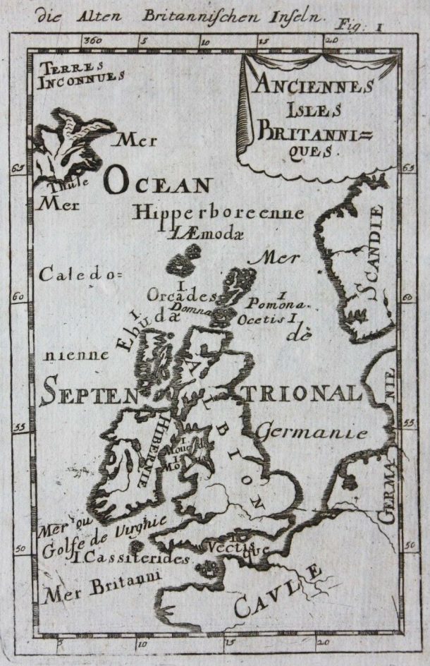
“Anciennes Isles Britannique” …c1719…  Alain Manesson Mallet (1630 – 1706) … 6” x 4” (14.5 cms x 10 cms) … uncoloured. Copper engraving from the German edition of his five volume “Description de L’Univers” published in Frankfurt c1719. The first edition was published in 1685 as the largest and most comprehensive work ever undertaken describing the cultures, […]

Read more Like this post2
Close
Go top