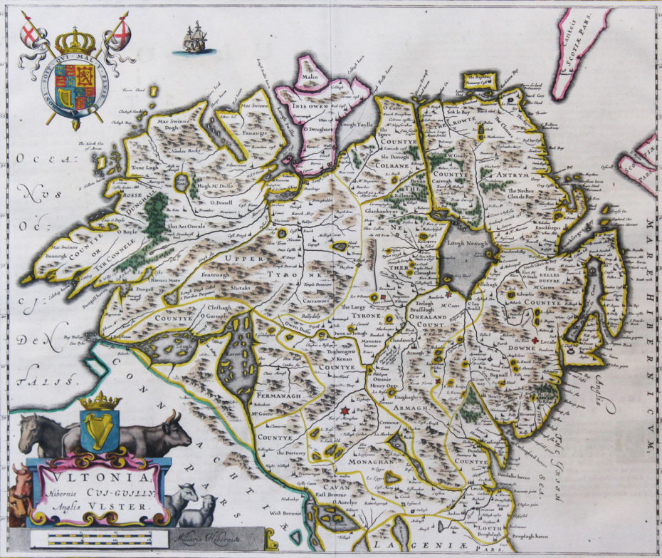
“Ultonia: Hibernis Cui-Guilly Anglis Ulster”… 1664…Johannes Blaeu (1596 – 1673)… 16” x 19.” (41 cms x 50cms) …copper engraved, original hand colour, from his “Grooten Atlas, oft Werelt- Beschryving”. Dutch text to verso. Born the son of master map maker Willem Blaeu, Johannes helped his father publish their “Theatrum Orbis Terrarum” in 1635 and on the death of his father in 1638 he and his brother Cornelius took over the studio. Joan became the official cartographer to the Dutch East India Company. His world map, “Nova et Accuratissima Terrarum Orbis Tabula” published in 1648, was revolutionary in that it “depicts the solar system according to the heliocentric theories of Nicolaus Copernicus, which show the earth revolving around the sun. Blaeu was the first mapmaker to incorporate this revolutionary heliocentric theory into a map of the world.” As “Jean Blaeu”, he published the 12 volume “Le Grand Atlas, ou Cosmographie blaviane, en laquelle est exactement descritte la terre, la mer, et le ciel from which this map is taken. In March 2015, a copy was on sale for £750,000. Map Ref: 802
Blaeu “Ultonia: Hibernis Cui-Guilly Anglis Ulster”… 1664
For further information please phone +44 (0)28 7083 4600 or email info@irishartgroup.com.
July 7, 2016
Project categories: Antiquarian Maps


