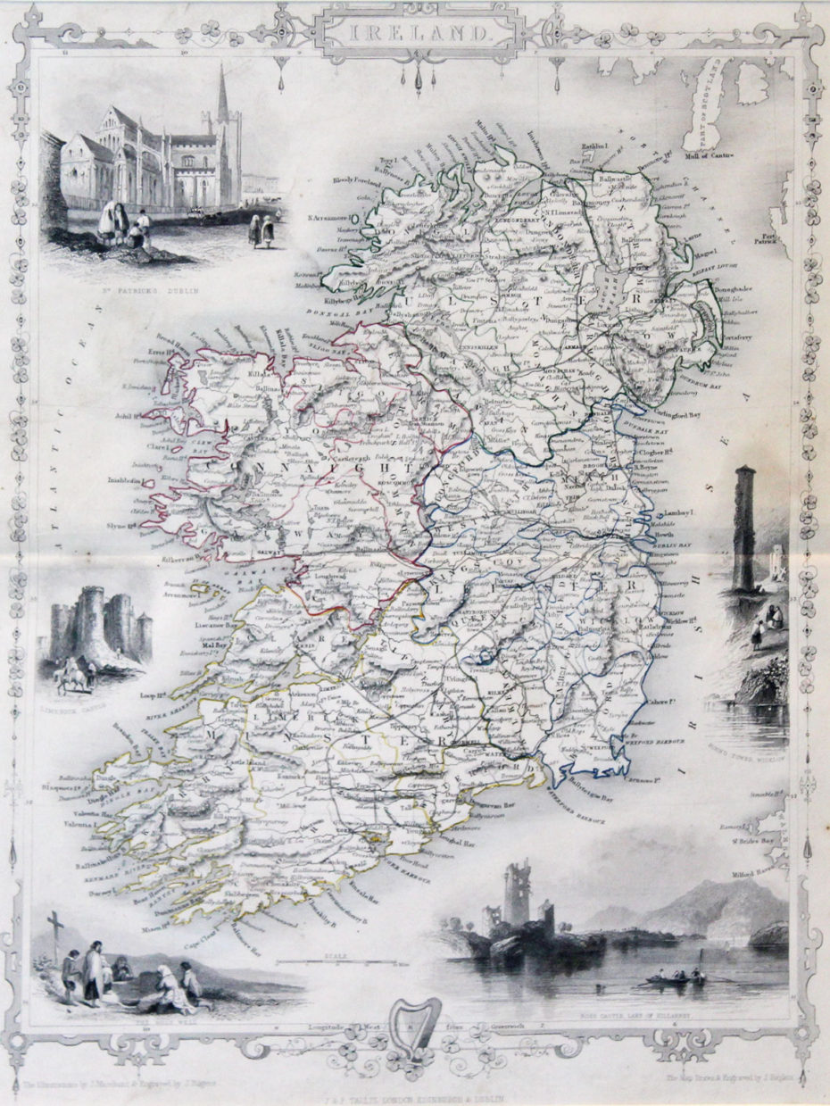
“Ireland”… 1860… by John Tallis & Co. 14” x 10.5” (35 cm x 26 cm)… original colour… Drawn by Rapkin, illustrated by Marchant, engraved by Rogers and published by Tallis, one of the last great decorative map makers. . John Tallis and Company published views, maps and atlases in London from roughly 1838 to 1851. Tallis’ maps are collected for their finely wrought vignettes, their highly skilled engravings and the aestheticism of their compilation. Map is in good condition despite slight trimming to top which is hidden by our mount. This map has been mounted to museum standards. Map Ref 910
Tallis “Ireland”… 1860
For further information please phone +44 (0)28 7083 4600 or email info@irishartgroup.com.
July 7, 2016
Project categories: Antiquarian Maps


