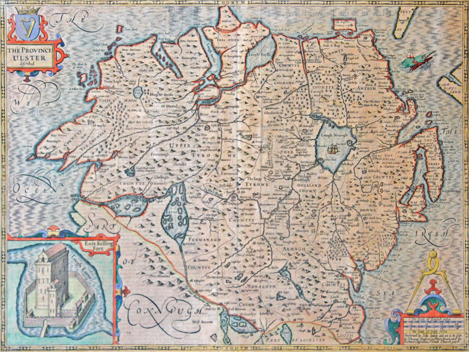
“The Province of Ulster” … 1676 by John Speed (1542 – 1629). Full later hand colour. 15” x 20” (37 cm x 50 cm). Speed is recognized as the finest cartographer these islands every produced. Cambridge University Library describes his “Theatre of the Empire of Great Britaine” (1611/1612) “as one of the world’s great cartographic treasures. His town plans were a major innovation and probably his greatest contribution to British cartography. Together, they formed the first printed collection of town plans of the British Isles and, for at least 50 of the 73 included in the Theatre, it was the first time these towns had been mapped. The Theatre was an immediate success: the first print run of around 500 copies must have sold quickly because many editions followed and, by the time of the 1627 edition, the atlas cost 40 shillings. It was a supreme achievement in British cartography. It made John Speed into one of the most famous of all our map-makers and became the blueprint for folio atlases until the mid-18th century.” This map has been mounted and framed using museum quality conservation materials. Ref. Map 913
This map has been SOLD but if you would like us to source one for you please email megan@irishartgroup.com or phone Darach on 0044 (0)28 7083 4600


