Exit

Telephone : +44 (0) 28 7083 4600

Email: info@irishartgroup.com

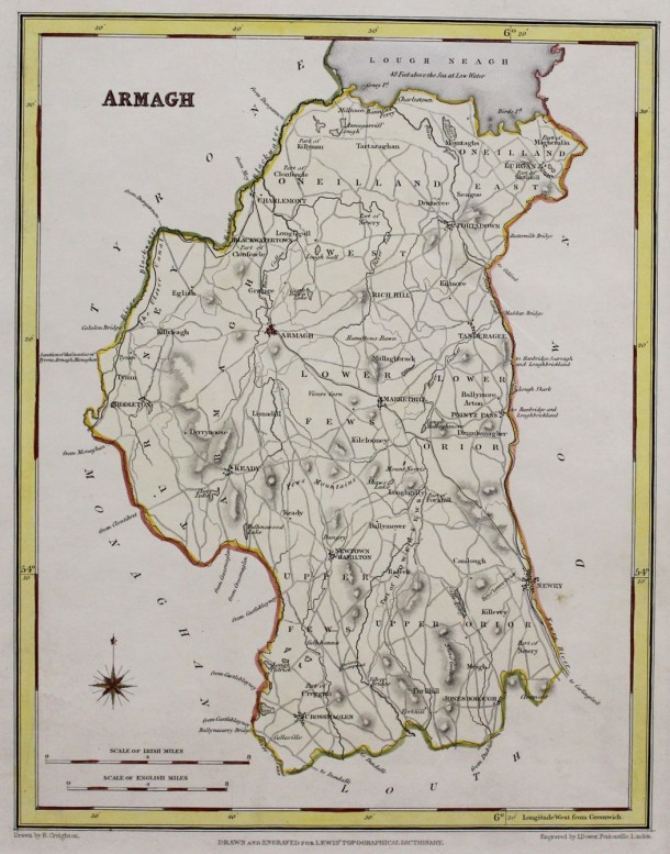
“Armagh” … 1837

“Armagh” … 1837 … by Creighton and John Crane Dower (died 1847)… 9.5” x 7.5” (24 cms x 19 cms)… hand colour… from Lewis’ “Topographical History of Ireland” 1st edition. Published in 1837 in two volumes, with an accompanying atlas, it marked a significantly higher standard in such accounts of Ireland. Apart from “The Parliamentary […]

Read more Like this post0

“Antrim” … 1837 SOLD

“Antrim” … 1837 … by Creighton and John Crane Dower (died 1847)… 9.5” x 7.5” (24 cms x 19 cms)… hand colour… from Lewis’ “Topographical History of Ireland” 1st edition. Published in 1837 in two volumes, with an accompanying atlas, it marked a significantly higher standard in such accounts of Ireland. Apart from “The Parliamentary […]

Read more Like this post0

“Londonderry” … 1837 SOLD

“Londonderry” … 1837 … by Creighton and John Crane Dower (died 1847)… 9.5” x 7.5” (24 cms x 19 cms)… hand colour… from Lewis’ “Topographical History of Ireland” 1st edition. Published in 1837 in two volumes, with an accompanying atlas, it marked a significantly higher standard in such accounts of Ireland. Apart from “The Parliamentary […]

Read more Like this post0

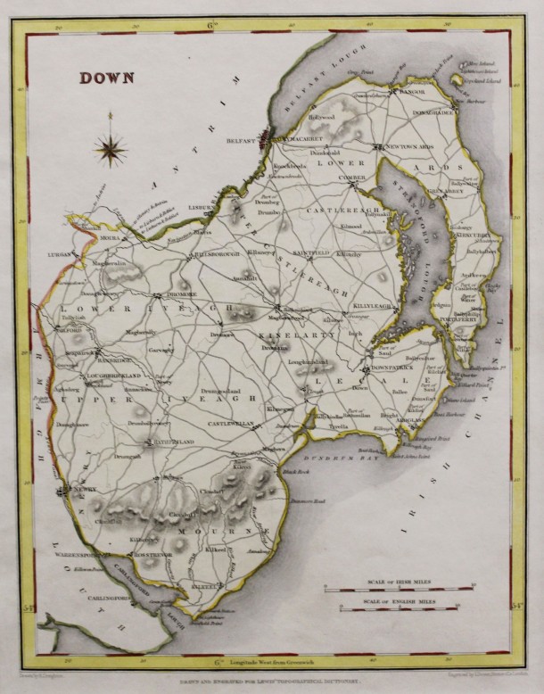
“Down” … 1837 SOLD

“Down” … 1837 … by Creighton and John Crane Dower (died 1847)… 9.5” x 7.5” (24 cms x 19 cms)… hand colour… from Lewis’ “Topographical History of Ireland” 1st edition. Published in 1837 in two volumes, with an accompanying atlas, it marked a significantly higher standard in such accounts of Ireland. Apart from “The Parliamentary […]
Read more Like this post0

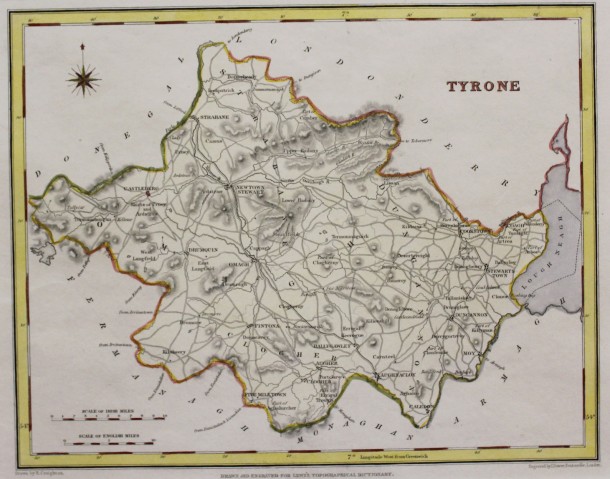
“Tyrone” … 1837

“Tyrone” … 1837 … by Creighton and John Crane Dower (died 1847)… 9.5” x 7.5” (24 cms x 19 cms)… hand colour… from Lewis’ “Topographical History of Ireland” 1st edition. Published in 1837 in two volumes, with an accompanying atlas, it marked a significantly higher standard in such accounts of Ireland. Apart from “The Parliamentary […]
Read more Like this post0

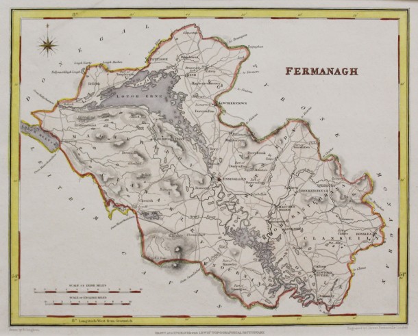
“Fermanagh” … 1837

“Fermanagh” … 1837 … by Creighton and John Crane Dower (died 1847)… 9.5” x 7.5” (24 cms x 19 cms)… hand colour… from Lewis’ “Topographical History of Ireland” 1st edition. Published in 1837 in two volumes, with an accompanying atlas, it marked a significantly higher standard in such accounts of Ireland. Apart from “The Parliamentary […]
Read more Like this post0

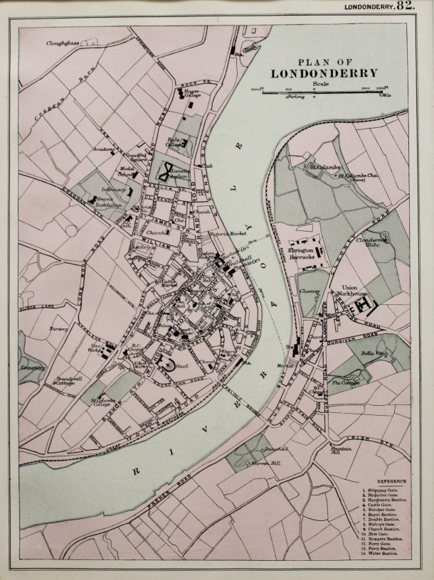
Plan of Londonderry 1899

Plan of Londonderry … Original map made in 1899 … Virtue … 12.5″ x 9″ (31.75 cms x 22.8 cms). This map is in excellent condition. Map Ref: 159

Read more Like this post0

Guthrie… Ireland… c. 1795 SOLD

This map has been SOLD but if you would like us to source one for you please email megan@irishartgroup.com or phone Darach on 0044 (0)28 7083 4600

Read more Like this post0

“Irlande” … 1837

“Irlande” … 1837 … by Aristide Michel Perrot (1793 – 1879) … 4.5” x 3” (11.5 cms x 7.5 cms) … original outline colour with later full colour. From Atlas of The British Isles published in Paris and engraved by Adrien Migneret (1786 – 1840). Perrot worked with Madame Migneret and George Samuel Depping on […]

Read more Like this post0

Ireland

Read more Like this post0
Close
Go top